geo tagging
Geotagging, known as geocoding in German, is the process of referencing geographic data to photos, videos, or other data sets. Specifically, geotagging is adding information about the location where a photo was taken. This information is contained in the geo- tag, which is a label, and is added automatically. This can be the name of a country, city, town or street, the latitude and altitude or the coordinates of a navigation system. In this context, one speaks of the location of the photo.
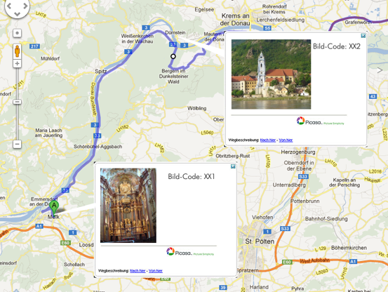
Geotagging provides an exact assignment of the photos to the place where they were taken and the time they were taken. In addition, online map services such as Google Maps, WikiMapia or Map24 offer to make geo-tagged photos or videos visible in maps based on the geographical data, namely the exact place where the photo was taken.
As far as classic geotagging is concerned, namely the tagging of location data, this can already be done by digital cameras with navigation modules for the Global Positioning System( GPS) or by GPS loggers. In the file formats used by the cameras, such as that of the International Press Telecommunications Council( IPTC), the Exchangeable Image File( EXIF) and the Extensible Metadata Platform(XMP), the photos are stored in JPEG together with the shooting times and supplemented with metadata.